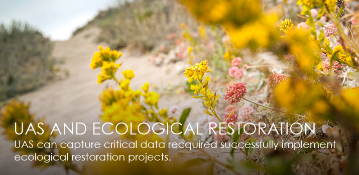
UAS and Ecological Restoration
The application of UAS technologies is a valuable resource to the prioritization, implementation, and management of ecological restoration projects. High-resolution geospatial datasets are a fundamental component to effectively prioritizing locations for potential restoration projects. With hundreds of thousands of acres of natural lands within Humboldt County alone, UAS provide a proven method for collecting data within areas traditionally inaccessible to ground-based research methods. A few specific projects which benefit from UAS applications include fish habitat projects, erosion and sediment budget inventories, road decommissions, forest canopy and health indices and the identification of potential landslide locations. Additionally, the high-temporal resolution capable with UAS technologies allows broad scale post-project assessments of topographical changes over time.
|
 |