The Benefits of ISAMM
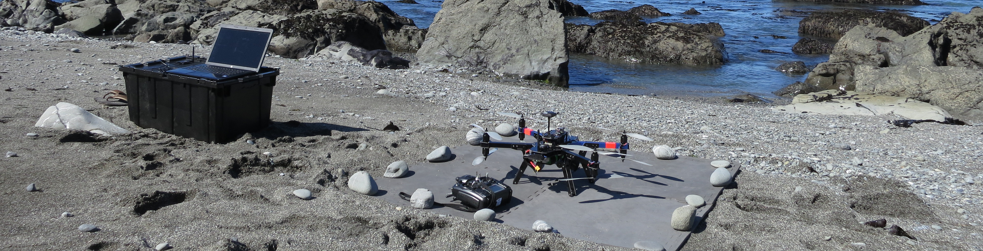
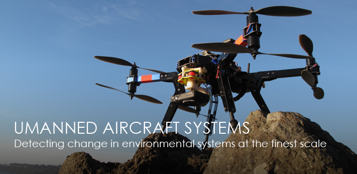
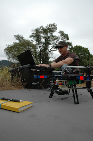
The Institute for Spatial Analysis, Mapping, and Modeling (ISAMM) employs an cost-effective interdisciplinary approach utilizing cutting-edge unmanned aircraft system (UAS) technologies to develop high spatial and temporal resolution geospatial datasets for use across a broad user base. ISAMM provides publicly available high-quality data and technical support to advance academic, municipal, and public research programs. UAS technologies have never been more affordable and ISAMM is committed to leading the charge in application advances and data distribution methods.
Additionally, ISAMM supports the exchange of publicly-available data via its online mapping platform to increase collaboration and connectivity between UAS professionals, researchers, practitioners, and the public.
Interdisciplinary Approach
ISAMM operates within Humboldt State University (HSU) providing access and support to experts within a range of scientific disciplines. In conjunction with university professors and industry experts, interdisciplinary collaboration promotes ISAMM's role as a leader in developing effective applications for a broad range of disciplines of public and academic interest from wildlife tracking to climate change to public water resources.
|
 |