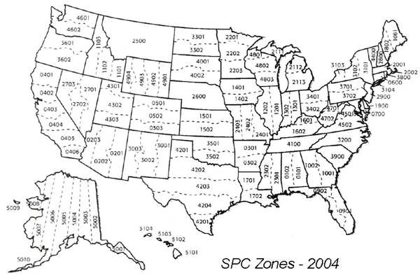
The State Plane system was created to manage data at a state level. It is only for the United States but other countries have developed similar systems for their data. Each state is divided into "zones" as needed. The zones are defined by state and county boundaries and will run north/south or east/west, which ever is better to reduce distortion within the zone. Because of the size of the states, some states will have one zone while others will have more, Alaska has 10!
State Plane uses two different projection methods based on the shape of the zone:
Lumbert Conformal Conic
Transverse Mercator
The zones are either referred to by name:
Or by the Federal Information Processing System (FIPS) Codes.
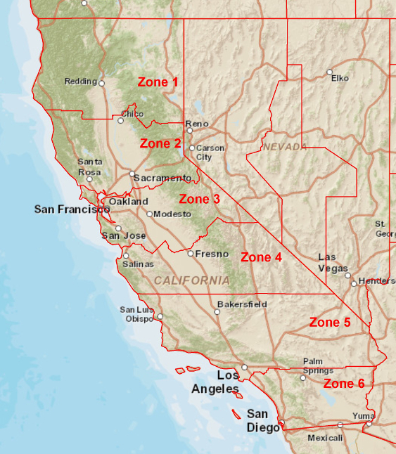
California has a large number of zones because it is a very long state.
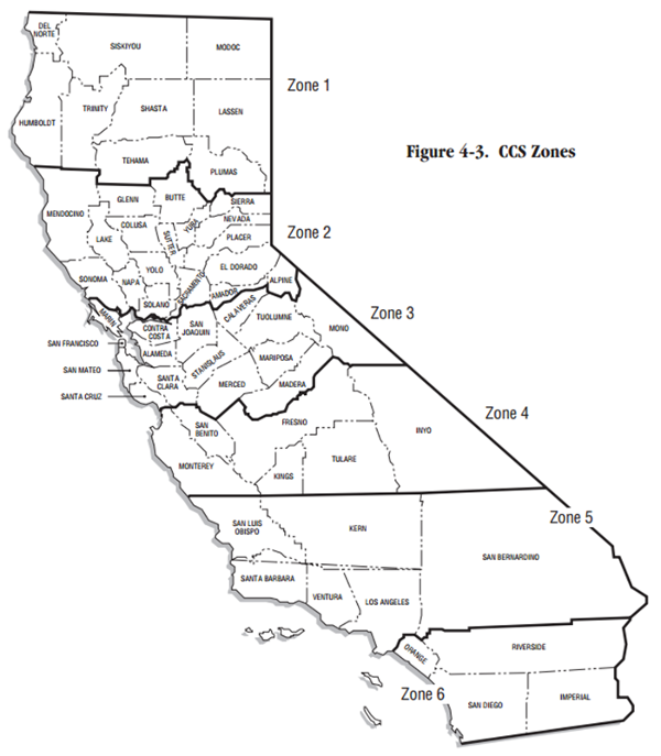
Below is an image showing the state plan zones for Calfornia for NAD 83:
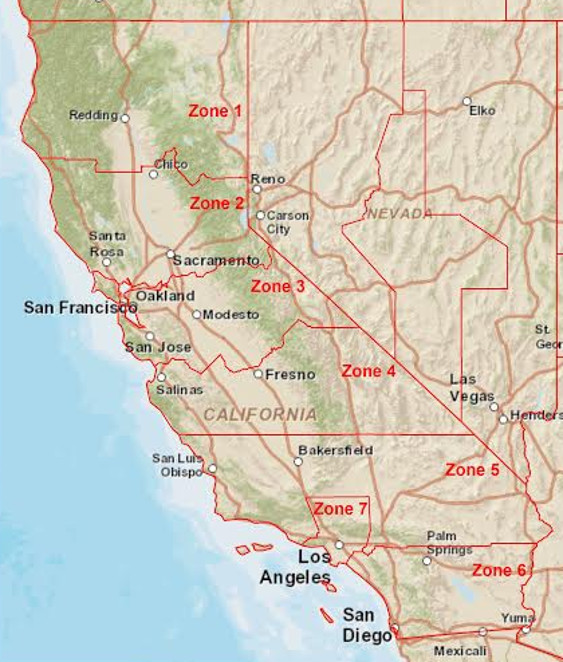
Below is an image showing the state plan zones for Calfornia for NAD 27. Notice the additional zone (7) for Los Angeles County.
Images by Matt Savoie.
Within each zone the coordinates are referenced using a Longitude and Latitude of origin that is in the center of the zone while a "False Easting" ensures that we do not have negative easting values.
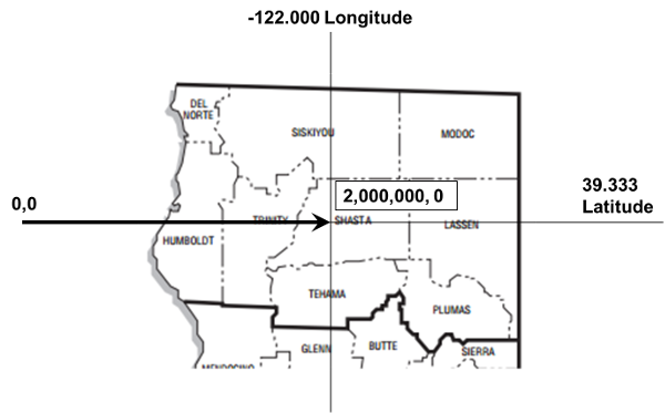
California State Plane Zone 1
Below are the projection settings for State Plane California Zone I US Feet. Notice that this contains everything we need for a PCS, except the GCS.
© Copyright 2018 HSU - All rights reserved.