
Accuracy Assessment Activity
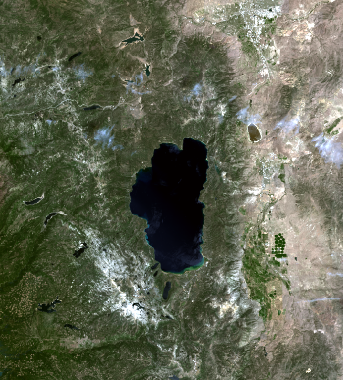
We will be conducting an accuracy assessment of an unsupervised classification of a Landsat 8 image of the Lake Tahoe Area. This image was acquired by the The Operational Land Imager (OLI) on Landsat 8 in July 2014. The first step in conducting an accuracy assessment is to obtain reference data to compare our classification results to. Instead of using field-based ground truthing techniques, we will be using high-resolution Google Maps imagery to classify each of our reference site. For this exercise a total of 100 reference sites were randomly selected.
We will work together as a class to classify all of the reference sites.Your task is to select two reference sites that have not already been classified, and classify the sites as one of the following land cover classes:
- Water
- Forest
- Mixed Vegetation/Agriculture
- Shrub/Scrubland
- Desert/Rock/Urban
Classification Guide
Use the below table to help you with your classification.
| Class Photo | Class Description |
|---|---|
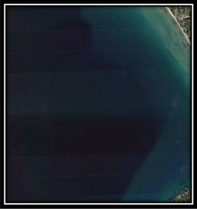 |
Class 1: Water All waterbodies (lake, river, ocean, etc.) should be classified as Class 1: Water |
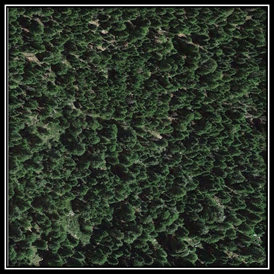 |
Class 2: Forest Areas with significant tree cover (>50%) should be classified as Class 2: Forest |
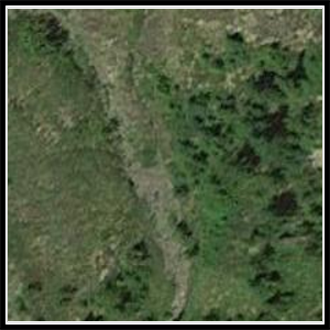 |
Class 3: Mixed Vegetation/Agriculture Areas with mix of trees/shrubs (<50% tree cover) or areas of agriculture should be classified as Class 3: Mixed Vegetation/Agriculture |
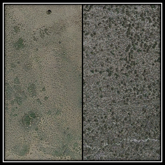 |
Class 4: Shrub/Scrubland Areas that are predominantly shrub/scrubland should be classified as Class 4: Shrub/Scrubland |
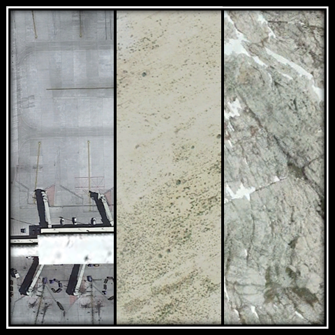 |
Class 5: Desert/Rock/Urban
Areas that a predominantly desert, rocky or urban (roof/paved) should be classified as Class 5: Desert/Rock/Urban |
Classifying the Reference Sites
- Make sure you are logged in to your HSU account, or you will not be able to view the spreadsheet. Check the Google Spreadsheet to see which sites haven't been classified yet and select to sites to classify: Reference Data Spreadsheet
- Visit the reference site map and view your selected sites: Reference Site Map
- Classify your sites based on the below classification guide.
- Enter your classification results into the spreadsheet here: Reference Data Spreadsheet
- Come to class on Monday and we will create an Error Matrix/Contingency Table from our data and calculate various accuracy metrics