-

HSU
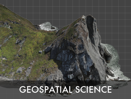
ADVANCING GEOSPATIAL SCIENCE

Exploring new methods of geospatial analysis.
-
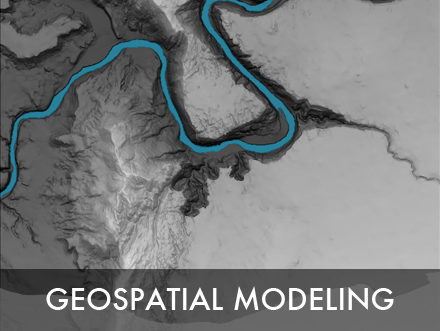
ENVIRONMENTAL MONITORING
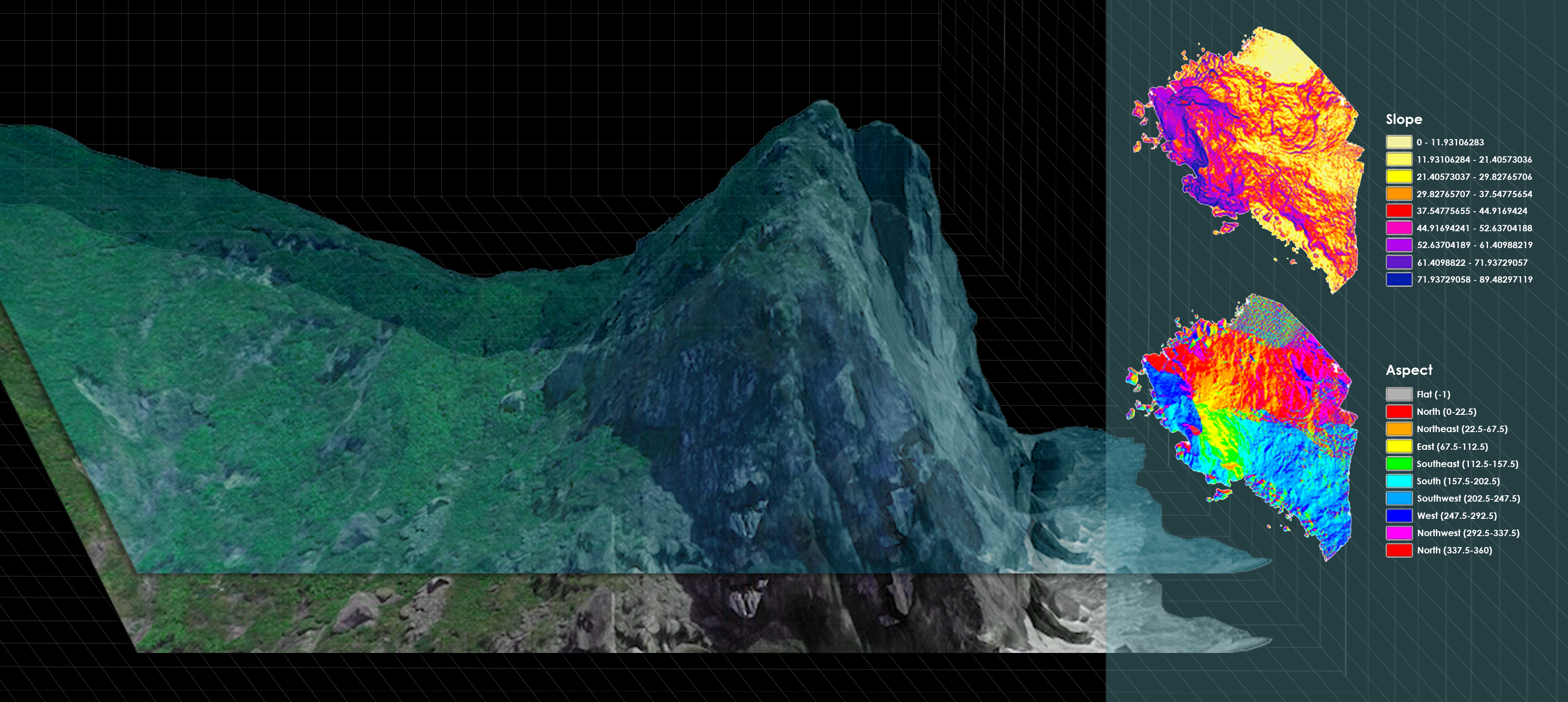
ISAMM is developing new methods for environmental monitoring, integrating new data collection, analysis, and visualization tools.
-
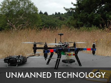
UAS RESEARCH & DEVELOPMENT
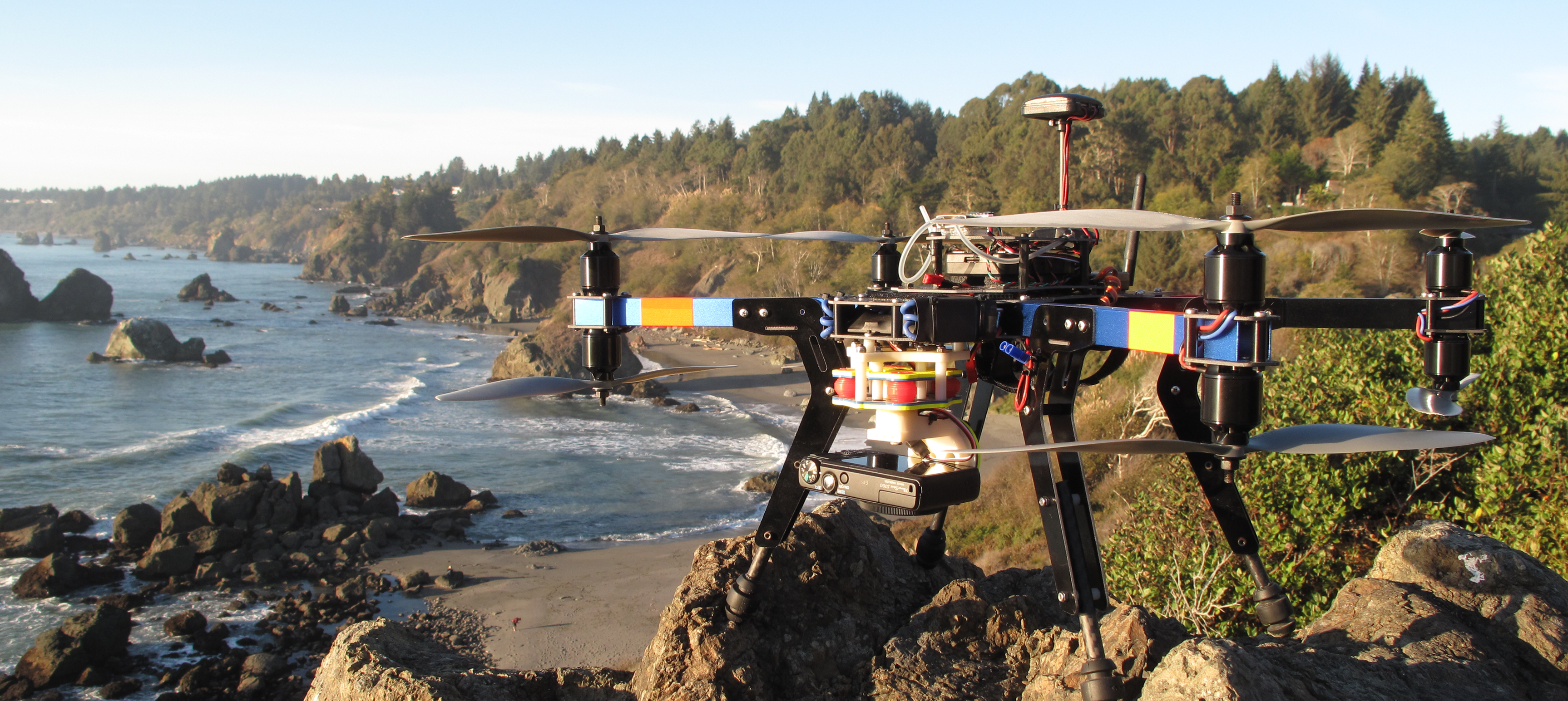
ISAMM is the University's center for unmanned aircraft systems research and development. The Institute promotes applications of UAS technology in natural resource science.
-
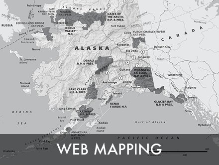
WEB MAPPING & GEOSPATIAL PROGRAMMING
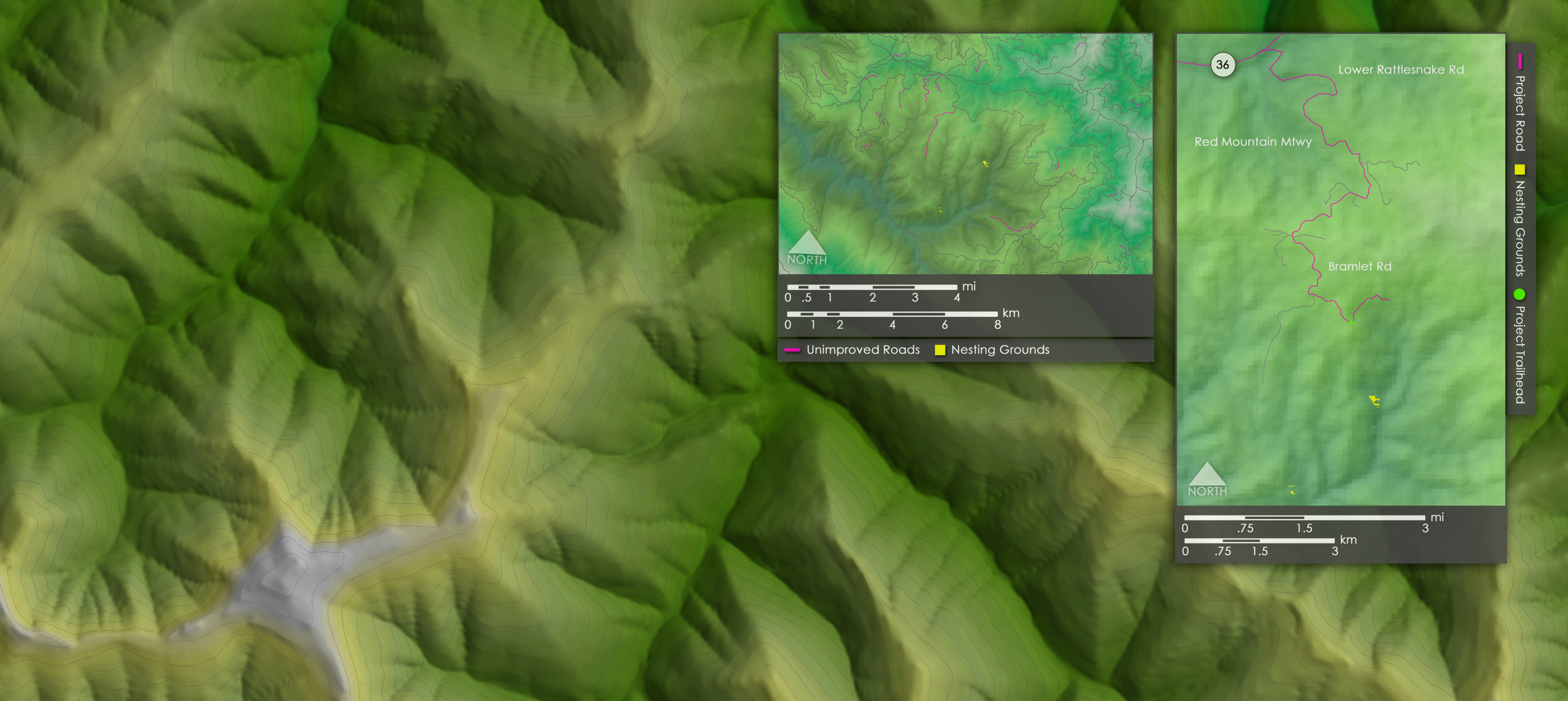
ISAMM is committed to the development of new methods for displaying spatial information through programming and web technologies.
THE INSTITUTE FOR SPATIAL ANALYSIS, MODELING, AND MONITORING
The Institute for Spatial Analysis, Mapping, and Modeling (ISAMM) is committed to the advancement and integration of geospatial science across multiple academic disciplines. In working with numerous departments at Humboldt State University (HSU), the Institute fosters a collaborative, multidisciplinary approach to geospatial research, and provides real-world solutions to pressing environmental issues.
|
|
|
Geospatial science is of increasing importance across a wide variety of industries, providing innovative methods to gather, analyze, and distribute spatial information. ISAMM utilizes cutting-edge technologies, and leverages the knowledge-base of HSU's geospatial faculty to enhance its research capacity across numerous academic disciplines. As the center for geospatial research at HSU, ISAMM provides students with real-world geospatial training. |
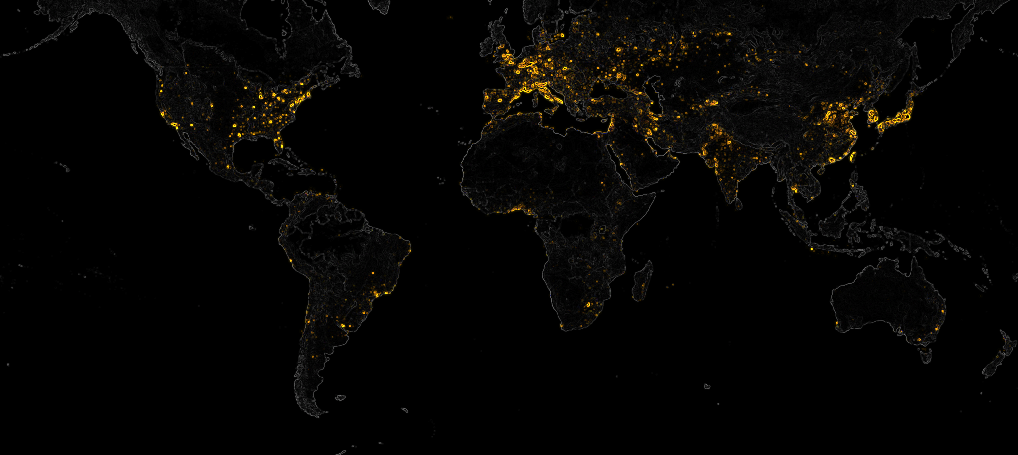
With each year, our capacity to manage the Earth's finite resources efficiently and effectively becomes increasingly challenging. Global climate change introduces an alarming degree of uncertainty that threatens to undermine our capacity to ensure a viable future for all species. Geospatial modeling is of increasing importance, as it enhances our ability to predict future conditions and outcomes. |
|
|
|
ISAMM explores new methods for disseminating geospatial information. While the Institute promotes traditional cartographic techniques, increasingly, information is being developed for online environments through web mapping technologies. Both faculty and students are working to develop new web mapping solutions that enhance audience engagement with geospatial information. |
The Institute is committed to exploring data collection methods and technologies. HSU is in the process of obtaining FAA approval to operate unmanned aircraft systems (UAS) for natural resources applications. In the coming years, the Institute aims to be the leader in UAS research for the northern California region, providing faculty, students, and the local community with premium data collection services. |
CONTACT |
RELATED SITES |
HSU GEOSPATIAL |
RESOURCES |
|
|
|