Shuster

Photographic Collection


Created by Brian McCaughey

Merle Shuster

The Flying Photographic Historian

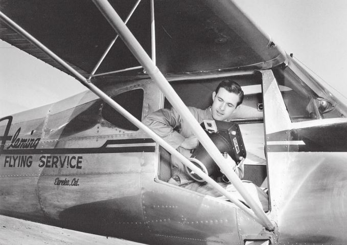
A photographer since his early years at Eureka High School, Merle Shuster attended Humboldt State College for two years and then joined the US Navy, where he was trained in aerial photography.

After the War, Shuster used his aerial photography skills and a Fairchild F-8 aerial camera to photograph the Humboldt County landscape. The result was an incomparable visual compendium of oblique and vertical angle photographs
shot from a variation of altitudes.

Learn more...

Shuster Webmap

You can view and download the georeferenced high resolution images here.

Visit Webmap

About the Author

At the time Dr. Graham offered me the opportunity to “georeference” historical aerial photographs for the HSU Library Special Collections, I had georeferenced only one aerial photograph. That photograph currently serves as the backdrop for the visitor’s center sitemap at Fort Humboldt State Park. With that positive experience under my belt, and sparked by my passion for Humboldt County history, I was excited about learning something new while at the same time enhancing my geospatial skillset.

Anxious to begin, I approached my first meeting with HSU Librarian Carly Marino with interest and intrigue. To my amazement, Carly informed me that there were over 2000 aerial photographs in Shuster’s collection. Each photograph would have to be reviewed for placement into one of two categories. First, if the photograph was shot at an “oblique” angle, the photo was deemed ungeoreferenceable, and would receive an X, and a Y coordinate. Second, if the photograph was determined to be at or near a vertical angle, then georeferencing was possible.

Continue to Webmap...

Feel free to email me to provide feedback on the website, or to just say hello!

Brian McCaughey

bgm4@humboldt.edu